New paper out in Ambio mixing art and remote sensing
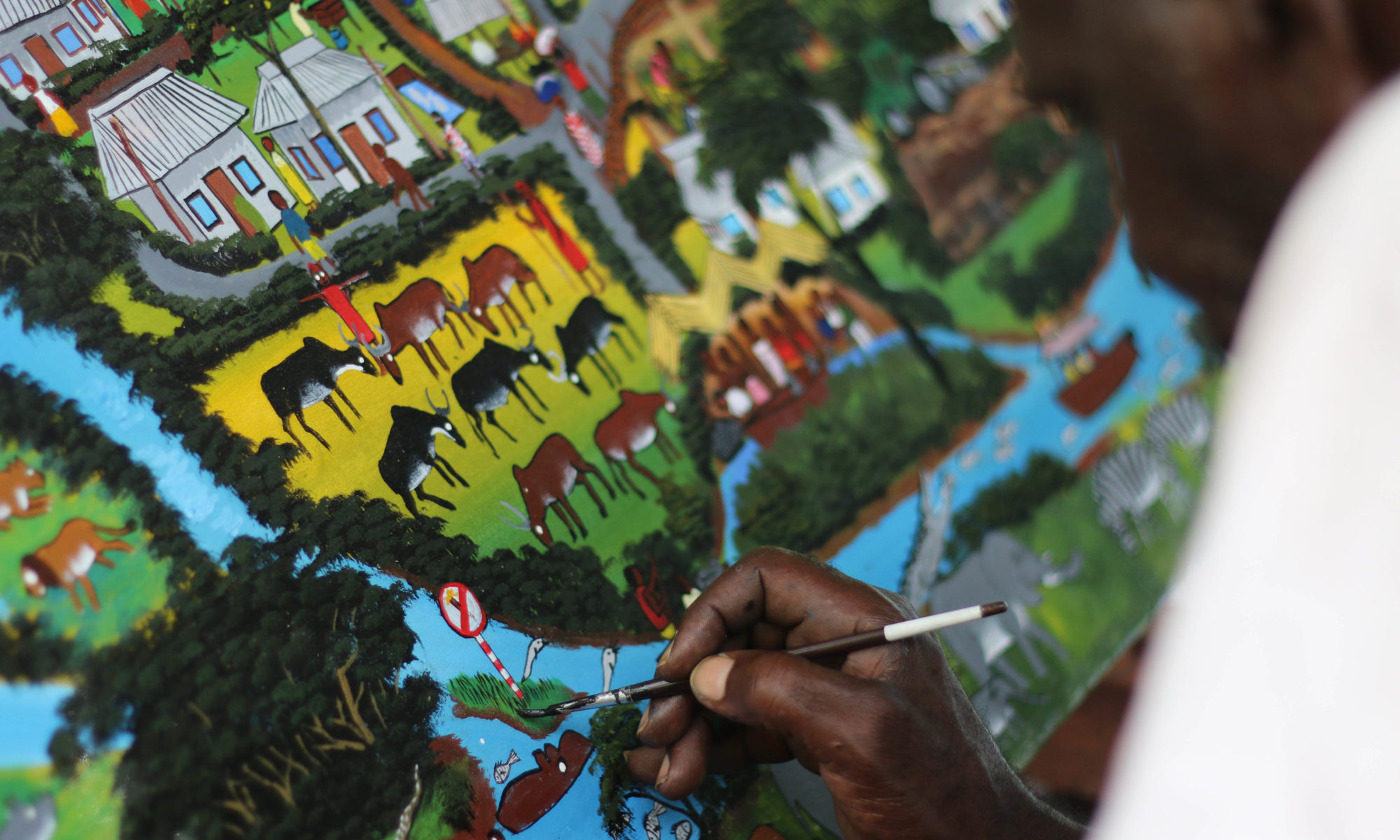
A paper I have been working on for a while with Hakim Abdi was recently published in Ambio under open access license. It compares what we can learn from linking participatory art and local experiences of land use change with remote sensing and land change detection. The paper is linked to fieldwork I did in Tanzania in 2015 and 2016 and is called “Mapping and quantifying perceptions of environmental change in Kilombero Valley, Tanzania”.
Comparing paintings of the past and the present with land change detection through remote sensing. Narratives and corresponding observations of environmental change are marked and highlighted in different colours. Green circles show the mountain forest as visualised in the paintings, and the corresponding area of the satellite image, mainly showing no change (white) and rainfed agriculture to forest (brown). Blue circles show forest loss in the valley as described in the paintings, and corresponding areas in the land cover classification (forest to rainfed, and forest to wetland). Pink circles show changes from wetland and rainfed farmland to irrigated farmland. Yellow circles show agricultural and pastoral activities expanding over the wetland area, which are seen as wetland to rainfed in the land change detection.